
Cromford Canal - Peak District Walk
Wednesday 22nd March 2023
Finally the weather gods, my health and commitments all allowed me to fit in the first walk of the year. I opted for a local walk that I haven't done in full for at least a decade, although sections of it have been visited frequently over the years inbetween. The walk also allowed me to collect the closest Ethel to my home, although I had visited it before it was ever designated as an Ethel.
Start: Cromford Wharf car park (SK 3001 5704)
Route: Cromford Wharf car park - Cromford Canal - Birch Wood - Wigwellnook Farm - Cromford Moor (TP) - Black Rocks - High Peak Trail - Cromford - Cromford Wharf car park
Distance: 7 miles Ascent: 312 metres Time Taken: 3 hrs 50 mins
Terrain: Clear tracks
Weather: Warm and dry
Pub Visited: None Ale Drunk: None

Cromford Wharf was quite busy, not only was the Birdswood filling up with passengers but a group of school children were also getting ready to start a canoe lesson. It looked like the ducks were soon going to be disturbed.

Walking along the canal path it was still relatively quiet, although it was somewhat strange to not have my grandson with me. No excuse for stamping feet and shouting under the bridge today.

After all the rain we have had recently the path was rather muddy in places, not the day to have left my gaiters at home.

As I approached High Peak Junction the number of people increased, although if they were hoping for a coffee from the cafe they were going to be disappointed.

Looking back along the canal towards the Pump House.

Having passed Aqueduct Cottage the number of people walking alongside the canal decreases and I have large sections of it to myself.

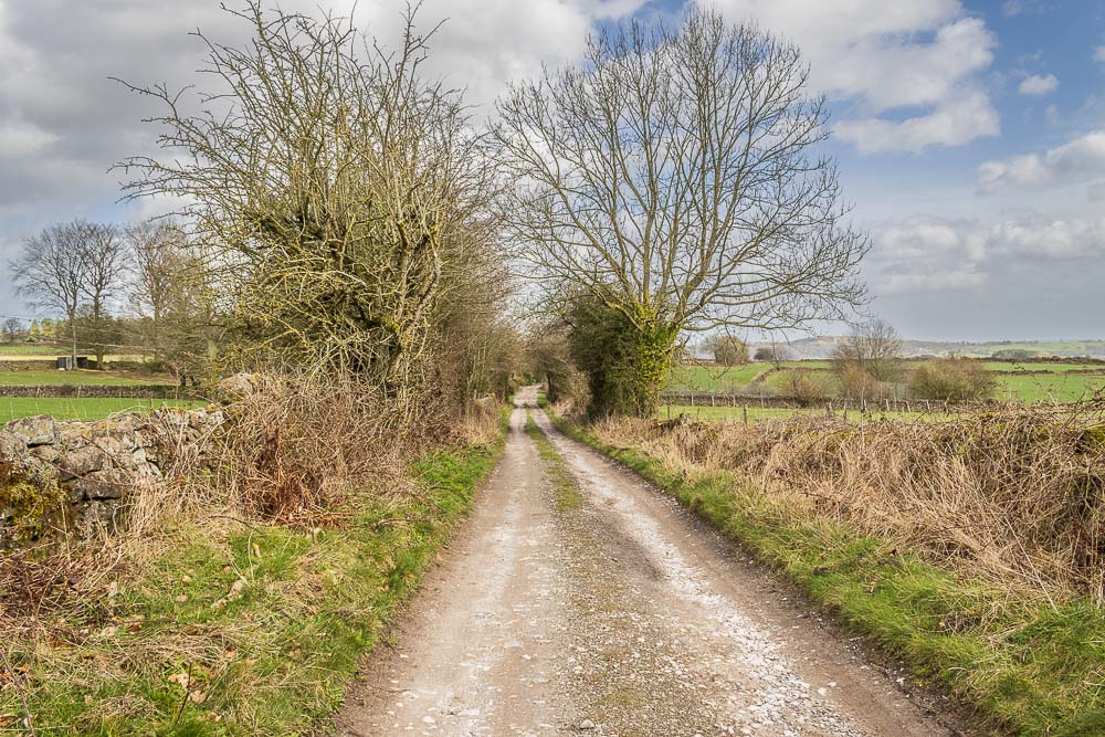
Having left the canal behind I begin a long period of ascent,
starting of with a very muddy section through Birch Wood.

As I pass through the campsite and continue uphill the views across the valley now include Crich Stand.

Looking across the Derwent Valley to Holloway and Bow Wood.

As I continue the long slow climb uphill the view back across the Derwent Valley makes the effort worthwhile.
A broad track takes me passed Wigwellnook Farm.

Looking across the fields from the track I can make out the masts, not quite hidden by the trees, at Alport Height.

Having reached the road I soon start to drop down, but the mast at the top of Cromford Moor means I can already begin to anticipate the short, but steep, climb up to the top of Cromford Moor.

Five minutes later the worst of the climb is over and I'm rewarded with views across Wirksworth to Sprink Wood.

Looking across Bolehill and the view includes Middleton Top and Middleton Moor.

The trig at the top of the hill is soon in sight and another Ethel can be ticked off the list.

From the trig there are two paths to follow, I will follow the one that sticks closest to the fence.

The other path takes a more circular route across the moor, heading towards Big Plantation.

Looking back to the trig from the path down to Black Rocks.

My route takes me down to the top of Black Rocks. The rocks are full of school children being guided up them on ropes. Standing on top of them I can look across to Middleton Moor.

Looking across Cromford towards Masson Hill.

In the opposite direction I can look across the Derwent Valley towards Coumbs Wood

Dropping down to the High Peak Trail I pass below Black Rocks, which as they are currently child free I'm happy to take a picture of.
Masson Hill and High Tor from the High Peak Trail.

Below me Willersley Castle reminds me how much descent I still have ahead of me.

The engine house at Sheep Pasture Top marks the point at which the descent begins again.

Looking down Sheep Pasture Incline on the High Peak Trail.

I leave the High Peak Trail and take the path passing below it, which will soon join the road down to Cromford.
All pictures copyright © Peak Walker 2006-2023